
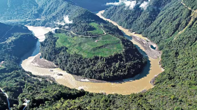
India has quietly but firmly drawn a line on the map. On Friday the government formally put the standard Indian names of 27 places and features in Arunachal Pradesh onto the official Survey of India maps. The move comes after years of China repeatedly trying to slap its own names on locations inside the border state.
The Home Ministry, working with the Arunachal government, said the idea is simple: make sure these places are correctly identified and that people know what they are and why they matter. The updated map is already up on the Survey of India website for anyone to see.
China has been at this for almost a decade. Starting in 2017 it has released list after list of so-called “standardised” Chinese names for mountains, rivers, passes and villages in Arunachal, which Beijing likes to call Zangnan or South Tibet. Each time India has called the exercise vain and preposterous, pointing out that inventing names does not change the fact that Arunachal is part of India and always has been.
This time New Delhi decided not just to reject the claims but to lock its own names into the official record.
Among the 27 places now clearly marked are several that carry real history and strategic weight.
Longju sits right near the Line of Actual Control. It was one of the earliest trouble spots — Chinese troops moved in there back in 1959, well before the 1962 war. Close by is Maja village in Upper Subansiri. Bisa village is on the list too.
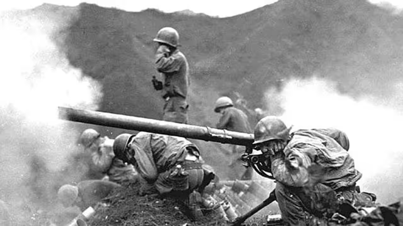
Then there are the high mountain passes: Dzo La, Riza La, Pukur La, and Thag La. Thag La is the one where some of the first fighting of the 1962 war broke out. These are tough, high-altitude routes that have always mattered to the armies on both sides.
Jairampur in Changlang district is there for more practical reasons. It is a key logistics point, the kind of place through which troops and supplies move towards the eastern border and the Myanmar frontier.
The rest of the list mixes natural features with places of memory. Sambho Sarovar is a high-altitude lake. Bara Kundun and Chhota Kundun are included. So are villages and settlements like Dhan Bari, Pritnagar, Teritnagar, Ramnagar, Sagar, Padma, Jyotinagar, Baisakhi, Chhota Ropuk, Bara Ropuk, Shivaji Nagar, Sunpura and Kamlang Nagar near the wildlife sanctuary. Buddhamandir is also on the map.
Two names stand out for what they represent. Jaswant Garh on the Tawang road marks the spot linked to Rifleman Jaswant Singh Rawat, who fought with extraordinary courage in 1962. The Sher-e-Thapa Memorial honours another soldier from that war, Trilok Singh Thapa.
Here is the complete list as notified: Longju, Maja, Bisa, Dzo La, Riza La, Pukur La, Thag La, Sambho Sarovar, Bara Kundun, Chhota Kundun, Dhan Bari, Pritnagar, Buddhamandir, Jairampur, Teritnagar, Ramnagar, Jaswant Garh, Sagar, Padma, Jyotinagar, Baisakhi, Sher-e-Thapa Memorial, Chhota Ropuk, Bara Ropuk, Shivaji Nagar, Sunpura and Kamlang Nagar.
People who follow these issues say some of these spots sit close to the LAC or have seen confrontations in the past. Putting them clearly on the official map removes the kind of vagueness that China has sometimes used to push its own version of the geography.
The language from the government has been careful. The statement talks about accurate recognition and public awareness, not about scoring points. Still, the message is clear enough. After watching Beijing issue one list after another, India has chosen to fix its own names in the authoritative national maps that are used for everything from administration to school textbooks.
Arunachal has always been sensitive ground. China claims the whole state. India runs it as an integral part of the country. The Line of Actual Control between them is long and disputed, and the two sides have had serious flare-ups, the worst in recent years being in eastern Ladakh in 2020.
China’s naming campaigns have never impressed New Delhi. Each time the External Affairs Ministry has said the same thing: creative naming will not change the ground reality. This latest step goes a bit further. Instead of only saying no, India has put the Indian names down in black and white on the maps that count.
For people living in Arunachal the change also has a practical side. Clear, consistent names help with everyday administration, tourism, emergency response and simply knowing the geography of their own state. Many of these places carry local stories and history that are better protected when they appear correctly in official records.
No one expects this to end the back-and-forth over maps. China shows no sign of dropping its claims or its habit of issuing new lists. But for the moment India has made its position unmistakable. These 27 places, under their standard Indian names, are part of Arunachal Pradesh and therefore part of India.
The maps are public. Anyone can look them up. In a contest that is as much about narrative as it is about territory, that quiet, official availability may turn out to matter more than any loud statement.
Sources:
Times of India, Hindustan Times, India Today, Business Today, Outlook, Times Now, India TV, WION, Moneycontrol and the official Ministry of Home Affairs statement of 7 August 2026.
@Rohit Manral